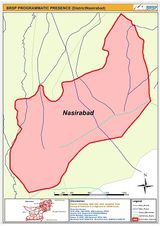
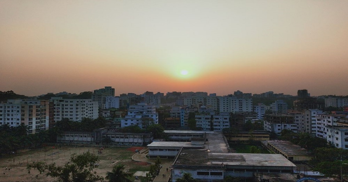
The city is named Nasirabad after distinguished Baluch leader ‘Nasir Khan’ the Baluch Confederation’s founder who governed ‘Kalat Khanate’ from 1747-1794. It was known as ‘Tamboo’ from 1987-1990. It has three tehsils and nineteen unions. This article has all the information about the city, including Nasirabad History.
| Title | Description |
|---|---|
| Information | |
| Location: | Pakistan |
| Nickname: | Nasirabad |
| Type: | District |
| Local Language Name: | Sindhi,Brohi, Saraiki and Balochi |
| Coordinates : | 26° 4′ 1″ North, 62° 42′ 58″ East |
| Website: | http://www.balochistan.gov.pk |
| Province : | Balochistan |
| Chairman District Council : | Sardar Changaiz Khan Sasoli |
| Deputy Commissioner: | Naseer Nasar |
| Area | |
| Total Area: | 3,387 km2 (1,308 sq mi) |
| Headquarters : | Dera Murad Jamali |
| Population | |
| Density: | 140/km2 (380/sq mi) |
| Latest Servay: | 20017 |
| Total Population: | 490,538 |
| Codes | |
| Postal code: | 92900 |
| Dialing code: | 838 |
Table of Contents
Nasirabad History
It’s a district in Baluchistan’s centre-west. Its headquarters are located at ‘Dera Murad Jamali.’ Initially, it was named ‘Temple Dera’ after Captain H.M. Temple, a British Civil-Servant, who worked as a political agent of Sibi from 1891-1892. Residents still know it as ‘Tipul’ which is a corruption of ‘Temple’ word. From 1987 to 1990 it was called as ‘District Tamboo.’ It has two sub-divisions ‘Chattar’ and D.M. Jamali.
Administration
Administratively this district is sub-divided into 3-sub divisions:
- Dera Murad Jamali
- Chattar
- Tamboo
Population
The population was recorded to be 350,000 in the year 2005.
Official & Local Languages
Baluchi, Saraiki, Brohi and Sindhi are local dialects. In contrast, English and Urdu are official languages.
Tehsils and Unions
Nasirabad has three Tehsils and Nineteen Unions.
- Tehsil Chattar has five unions that are Shori Dharbi, Shah Pur, Phuleji, Doulat Ghari, Chattar.
- Tehsil Dera Murad Jamali has seven unions that are Quba Sher, Manjhooti, Jhudair Shamali, Jhudair Janobi, Gharbi D.M. Jamali, Bedar, Sherqi D.M. Jamali.
- Tehsil Tamboo has seven unions that are Gola Wah, Allah Abad, Ali Abad, Kohang Tamboo, Kharoos Wah, Mir Wah, and Manjhoo Shori.
Nasirabad Area
It is spread over an area of 3387 km2
Dialling & Postal Code
838 is dialling, and 92900 is the postal code of Nasirabad.

