Khairpur, a small city, is located in the North of province Sindh and is famous for dates production, the shrine of Sachal Sarmast, and Kot DG fort. Despite being a small city, it is the country’s fifteenth largest city.
After the foundation of Pakistan, this city developed industrially, with leather, silk, carpet, and textile manufactures and flour and sugar mills. This article has all the information about the city, including Khairpur History.
| Title | Description |
|---|---|
| Information | |
| Location: | Sindh Pakistan |
| In Urdu : | خيرپُور |
| Towns: | 11 |
| Type: | District |
| Local Language Name: | Sindhi,Baluchi, Brohi |
| Province: | Sindh |
| Coordinates : | 27°32′N 68°46′E |
| District: | Khairpur District |
| Founded: | 1783 |
| Known as: | Sufi mystic Sachal Sarmast |
| Area of District : | 15910 (Skm) |
| No of Tehsils: | 08 |
| Number of Rural Union Councils : | 61 |
| Number of Urban Union Councils : | 15 |
| Number of Villages : | 6800 |
| Growth Rate : | 2.71% |
| Population : | Estimate (2006) 127,857 |
| Historic Buildings: | Faiz Mahal,Kot Diji Fort |
| Founded by: | Mir Sohrab Khan |
| Union councils: | 76 |
| Time zone | |
| Time zone: | PST (UTC+5) |
| Codes | |
| Postal code: | 66020 |
| Dialing code: | 243 |
Table of Contents
Khairpur History
Before partition, Khairpur Mirs was a semi-autonomous kingdom and Talpur family called Mirs were ruling there. Mir Sohrab made himself the ‘Rais-ul-Umarah of Upper Sindh, established his Sovereignty and kept his currency different from Lower-Sindh.
Population
According to census reports 1998 Khairpur’s population was 102,188. In 2006 the population was recorded to be 127857. 2017 census reports the population was 183181.
Religion of Inhabitants
- Islam-96.86%
- Ahmaddiya-0.07%
- Hinduism-2.93%
- Christianity-0.09%
- Others-0.04%
Khairpur Languages
- Punjabi-1.50%
- Seraiki-1%
- Sindhi-90%
- Baluchi-2.70%
- Brahui-2.30%
- Urdu-2%
- Others-0.50%
Highways
‘National Highway’ is the central path for transportation while ‘Mehran Highway’ links Khairpur and Nawabshah Districts.
Educational Institutes
There is only one University ‘Shah Abdul Lateef’ in Khairpur while following are some colleges:
- IBA Community College Khairpur
- Govt College of Technology Khairpur Mir’s
- Mehran University College of Engineering and Technology SZAB Campus Khairpur
- LUMHS Khairpur Medical College
- Khairpur College of Agricultural Engineering & Technology
Khairpur Postal Code
66020 is postal code of Khairpur.

Tourism Spots
Sachal Sarmast’s Shrine
Sufi Poet Sachal’s shrine is situated Forty Kilometers South-West of Khairpur, Sindh. During the Talpur regime in Sindh, Sachal used his poetry to spread a message of kindness and affection. He is called ‘Shair-e-Haft,’ i.e. poet of seven languages.
Faiz Mahal
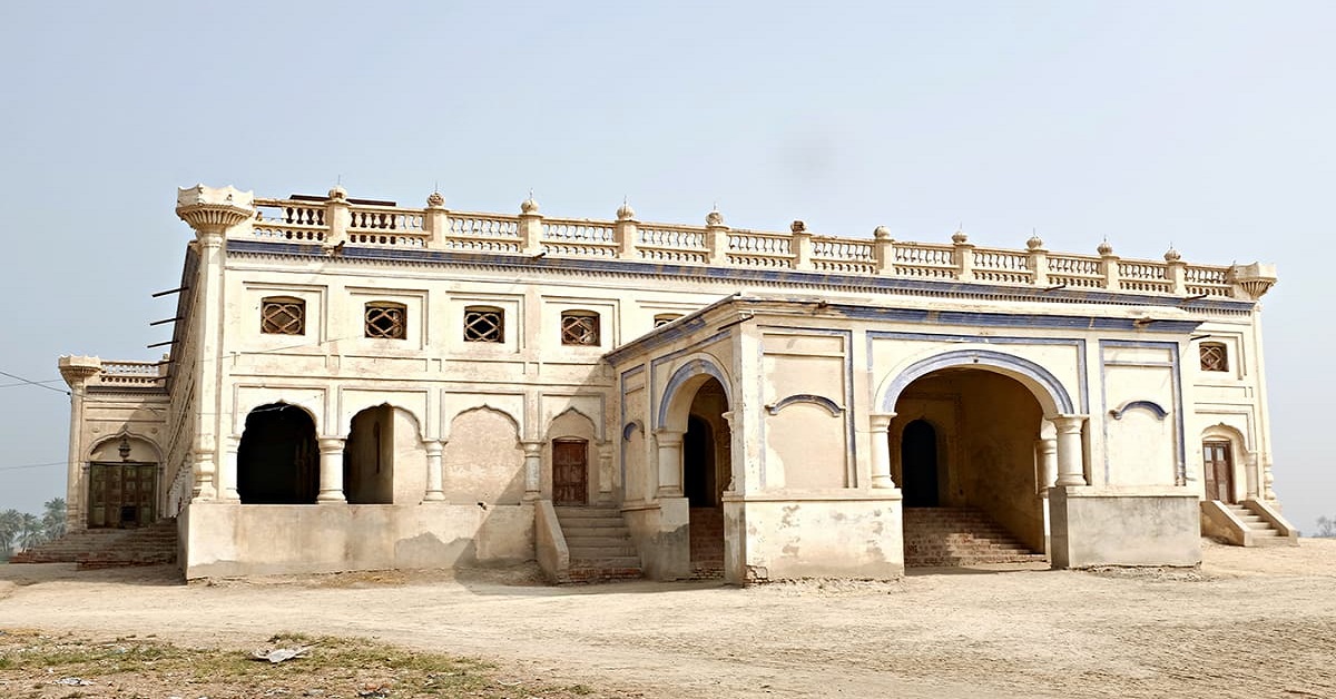
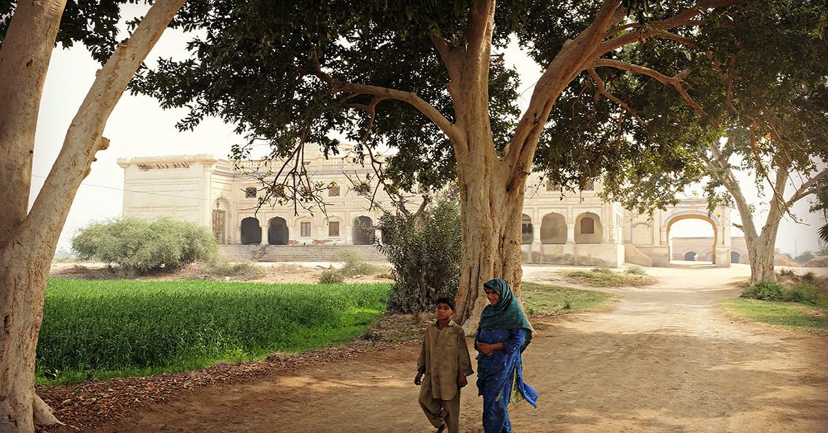
It is a magnificent remain of ‘Talpur Dynasty’ and great architectural artwork. Details on Mahal’s walls are designed delicately and beautifully, which reflects the artistic skills of people of that era.
Kotdiji Fort
This fort is constructed from kiln-baked bricks and is almost one-hundred and ten feet high. Walls are thirty feet high from the surface. The entrance of the fort is on East protecting it from any invaders.
Large Wooden logs with two-hundred and thirty-four spikes were joined to construct its thirteen feet high and ten feet wide door. The sole purpose behind the construction of the fort was the defence from invaders.
KotDiji Khairpur
It is located 15-miles south of Khairpur and is the earliest ruin of Indus Valley’s Chaleolithic Civilization.
Dates Production in Khairpur
Pakistan is the world’s largest date producing country. Most significant quantity comes from province Sindh. In Sindh, date farms encompass an area of Seventy-Five thousand acres. Almost Seventy per cent cultivation of the region is carried out in Khairpur, due to its favourable climate.
After completion of Sukkur Barrage in the 1930s, date farming increased at a rapid rate, because irrigated soil was conducive for cultivating dates.
The livelihood of Khairpur Inhabitants
Agriculture is the backbone of the economy of Khairpur. Residents earn their livelihood mainly through date farming.

